 CHRISTMAS CLOSURE
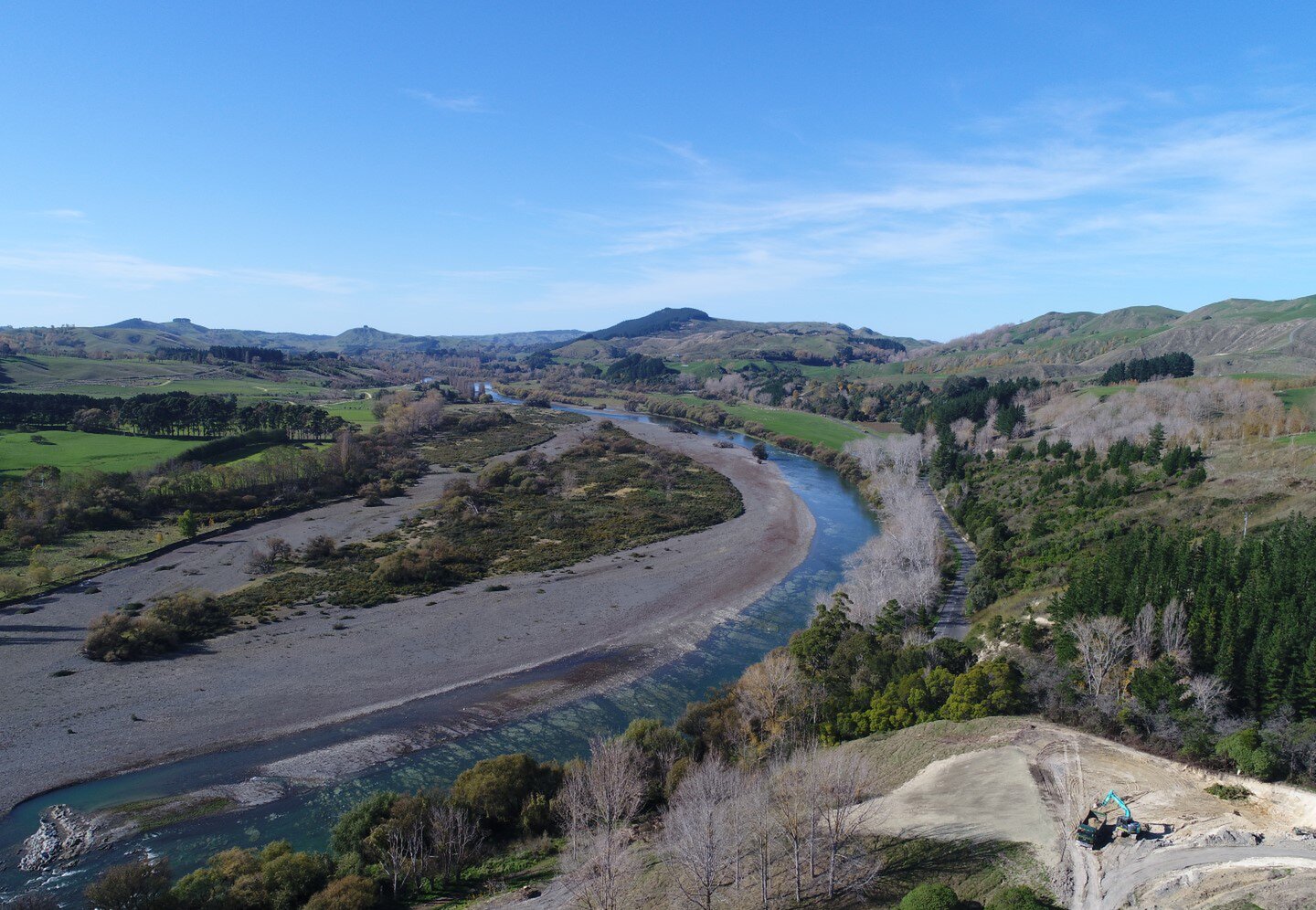
UAV Mapping and Aerial Photography

We have in house UAV services including:
- CAA NZ Part 102 Accredited Pilot
- Aerial site surveys and mapping
- Aerial photography and footage
- Post processing the data captured to produce 3D models and point clouds
- UAV Mapping